Print
Print Email
EmailEAST LANSING, Mich. — In grade school, you may have learned about the water cycle. Water falls from the sky as varied forms of precipitation, exists on the Earth as groundwater or surface water, evaporates or transpires into the atmosphere as gas, and condenses back into a liquid (or solid) state.
However, that depiction doesn’t describe the entire breadth of how water moves today.
Newly appointed Michigan State University AgBioResearch-affiliated scientists are diving deeper into the water story, working to better understand water movement and the human impact on it.
Adaptive modeling shows how human processes influence the water cycle.
Yadu Pokhrel, a Red Cedar Distinguished Professor in the College of Engineering’s Department of Civil and Environmental Engineering, emphasizes through his water models how human activity contributes to the movement, quality and availability of water — ultimately presenting a greater look at how water can be conserved and sustainably managed.
“If you look at the textbook version of the hydrological cycle, it’s no longer the modern-day cycle because human activity has completely disrupted it,” Pokhrel said. “I look at how human activities such as irrigation for food production and the extraction of groundwater impact the water cycle.
“The questions I answer through my models are: How does the hydrological cycle respond when humans take water from somewhere and put it in another pool where it moves elsewhere, and how does water availability change in response to an alteration in the cycle?”
In the U.S., Pokhrel has used funding from the National Science Foundation (NSF) to examine water availability in the Colorado River Basin, which since 2000 has experienced its driest conditions in over 100 years, according to the U.S. Geological Survey (USGS). The Colorado River stretches 1,450 miles and supplies water to seven states. In 2021, the Bureau of Reclamation declared the first ever water shortage in the river. As a result, in 2022 Arizona and Nevada — as well as Mexico — reduced the amount of water they’d receive from the basin, with additional states required to develop water conservation strategies.
Climate change and ongoing droughts have made it difficult to predict the river’s water patterns moving forward, and an increase in demand for water has created uncertainty regarding how much states can use. Pokhrel has collaborated with federal agencies and regional partners to map out what the river’s future might look like and how its water might be managed to meet growing needs for people and the environment.
“We’ve been working to better understand what to do in the future if climate change is going to further reduce the water supply and agriculture and other water-based demands are going to increase,” Pokhrel said. “Are there sustainable ways to manage water resources in this region? From a scientific perspective, we’re exploring several different scenarios such as improving water-use efficiency in agriculture, which may mean reducing its agricultural use by a certain fraction.”
Agriculture contributes to about 70% of freshwater consumption globally, according to the 2024 United Nations World Water Development Report.
With funding support from the NSF, Pokhrel has led another project since 2023 examining agricultural demands in the Mississippi River Basin. Spanning over 1.2 million square miles and receiving water from all or parts of 31 states, the drainage basin is the largest in the U.S. and supplies water to a region dominated by agriculture.
Pokhrel said the objectives of this research are to compare the amount of water used in rainfed versus irrigated agricultural systems; model what the need for water might be in the future as agricultural demands grow; and understand how agricultural inputs such as fertilizer and pesticides might respond to an uptick in application and water usage, tracking how their runoff might change and affect surrounding watersheds.
“The project in the Mississippi River Basin is somewhat different from the project in the Colorado River Basin because we’re not looking at water scarcity,” Pokhrel said. “Instead, we’re trying to give insight into how to manage the water in a sustainable way, considering both water quantity and quality with an emphasis on agriculture.”
The model used for this project was applied previously in the Great Lakes Basin. Pokhrel said the information gathered from the Colorado and Mississippi river basins can be used to advance strategies for how to sustainably manage and protect water in the Great Lakes region, which is home to the largest source of freshwater on Earth.
According to Pokhrel, models indicate that the Great Lakes region will become wetter over the next 10-20 years as the climate changes. As growers, industry leaders and researchers prepare for this shift, Pokhrel said the variability in weather patterns from season to season will be just as important to monitor and plan for — a key objective of the novel Agricultural Climate Resiliency Program, a partnership among MSU, the Michigan Plant Coalition and Michigan Department of Agriculture and Rural Development.
“What do you do if there’s a one-month dry episode in areas of Michigan where farmers rely on rainfed agriculture?” Pokhrel asked. “Farmers may put infrastructure in to irrigate, and in some cases, they may have to pump groundwater. We need to continue conducting research to better understand how the climate is changing and how farmers can deal with this changing variability.”
Hydrologic modeling in the Great Lakes region leads to informed recommendations on water conservation and management.
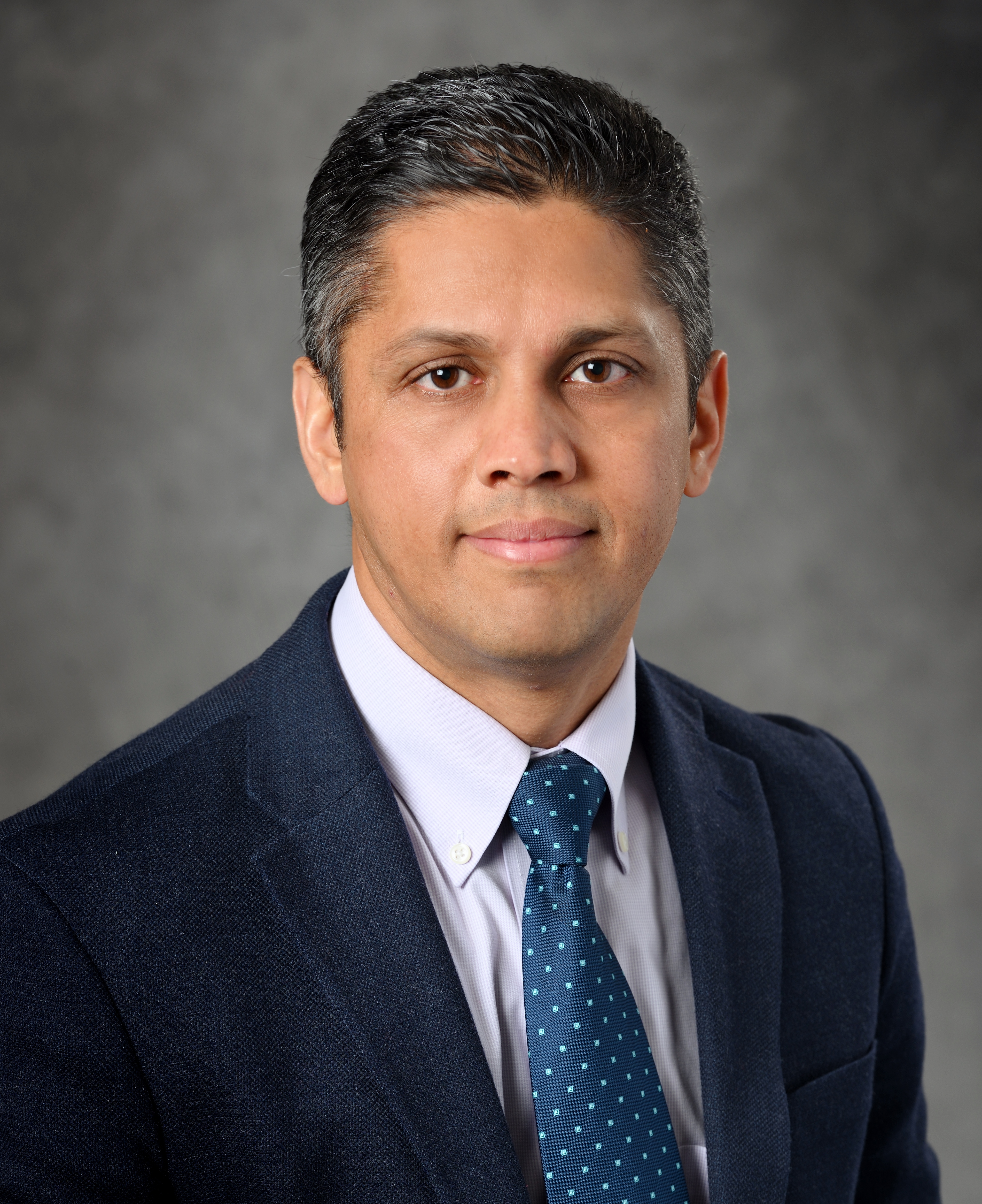
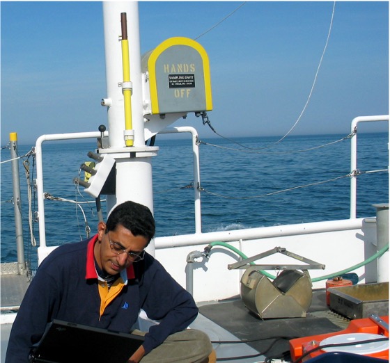
Phanikumar Mantha, a professor in the Department of Civil and Environmental Engineering, studies the movement and quality of water — including groundwater — in the Great Lakes region.
Roughly 45% of people in Michigan utilize groundwater for drinking water, and well over 1,510 million gallons per day are withdrawn from the region, according to research led by Alan Steinman, the Allen and Helen Hunting Research Professor at Grand Valley State University’s Annis Water Resources Institute.
However, in some parts of the state, not enough water is recharging into the underground aquifers located closer to Earth’s surface, so water is being pumped from deeper within the ground. In Ottawa County, officials have found that water located deep in the ground has high levels of salinity — mostly in the form of chloride salts — that can be detrimental to irrigated crops.
To understand if (and to what extent) pumping water from these aquifers is sustainable, Mantha has modeled what these aquifers look like and the processes behind how water is recharged into them.
“Several MSU colleagues and I worked with Ottawa County officials to address the questions of why saline water is being extracted from these aquifers and what can be done about it,” Mantha said. “These models help eliminate possibilities for why this is happening and support hypotheses as to why one factor might contribute more to the problem than another.”
Together, they published a report in 2018 that Ottawa County officials have used to make informed decisions about how to manage groundwater. Steinman, who’s also a member of the Ottawa County Groundwater Board, said this research has helped decision-makers and the public better understand what groundwater trends might look like in the future if nothing is done.
“Dr. Mantha’s modeling information was critical in bringing awareness to elected officials and the general public that even though we can see Lake Michigan and all its water, there’s a water crisis here in Ottawa County,” Steinman said.
The models used by Mantha and his team are applicable beyond groundwater as well. Two of Mantha’s current research priorities are to examine how the quality of coastal water within the Great Lakes is affected by the circulation of different contaminants and how water moves and transports chemical and biological agents throughout the region’s watersheds.
Funding from the National Oceanic and Atmospheric Administration, U.S. Army Corps of Engineers and USGS has allowed Mantha to carry out research equipping beach managers with the information needed to determine when a Great Lakes beach needs to be closed due to poor coastal water quality.
“When people go to swim at a beach on a beautiful day, the last thing they think about is getting sick from contaminated water,” Mantha said. “We’re working with sensors in the water and along coastlines that can upload data in real time for models to generate recommendations on whether a beach should remain open or closed. Our team has successfully tested this approach for numerous Chicago beaches in the past, and the availability of better sensors and machine learning models make this approach even more attractive today.”
Another way Mantha monitors the quality and quantity of water in the Great Lakes is to model the environmental flow of water in and out of the lakes across the region’s watersheds.
“Integrated or linked models, along with effective monitoring, are key to decision-making,” Mantha said. “At a minimum, you can monitor the turbidity, conductivity and temperature of the river water, and you’ll see a clear signature of the river out in the lake. If you’re able to see a clear signature of the river, that means you’re also able to see a signature of the pollution the river is bringing into a lake.
“These easily measured water-quality variables, which have been adopted to make improved predictions on water quality at our beaches, may additionally serve as proxies for other types of contamination.”
Steinman said monitoring this movement of water is equally necessary to evaluate the rate at which water is recharged into groundwater aquifers, noting a lack of information in this area statewide and a need for it moving forward.
“Can you imagine if a business didn’t know the stocks and flows of its commodity? It’d be out of business within a year,” Steinman said. “The work Dr. Mantha does is absolutely essential for us to get a better understanding of what the stocks and flows are for these major watersheds.”
In conjunction with these research topics, Mantha said a priority of his MSU AgBioResearch appointment over the coming years will be to address questions on energy in agricultural activities, examining the role of renewable energy sources in pre- and post-harvest productions.
Michigan State University AgBioResearch scientists discover dynamic solutions for food systems and the environment. More than 300 MSU faculty conduct leading-edge research on a variety of topics, from health and climate to agriculture and natural resources. Originally formed in 1888 as the Michigan Agricultural Experiment Station, MSU AgBioResearch oversees numerous on-campus research facilities, as well as 15 outlying centers throughout Michigan. To learn more, visit agbioresearch.msu.edu.